


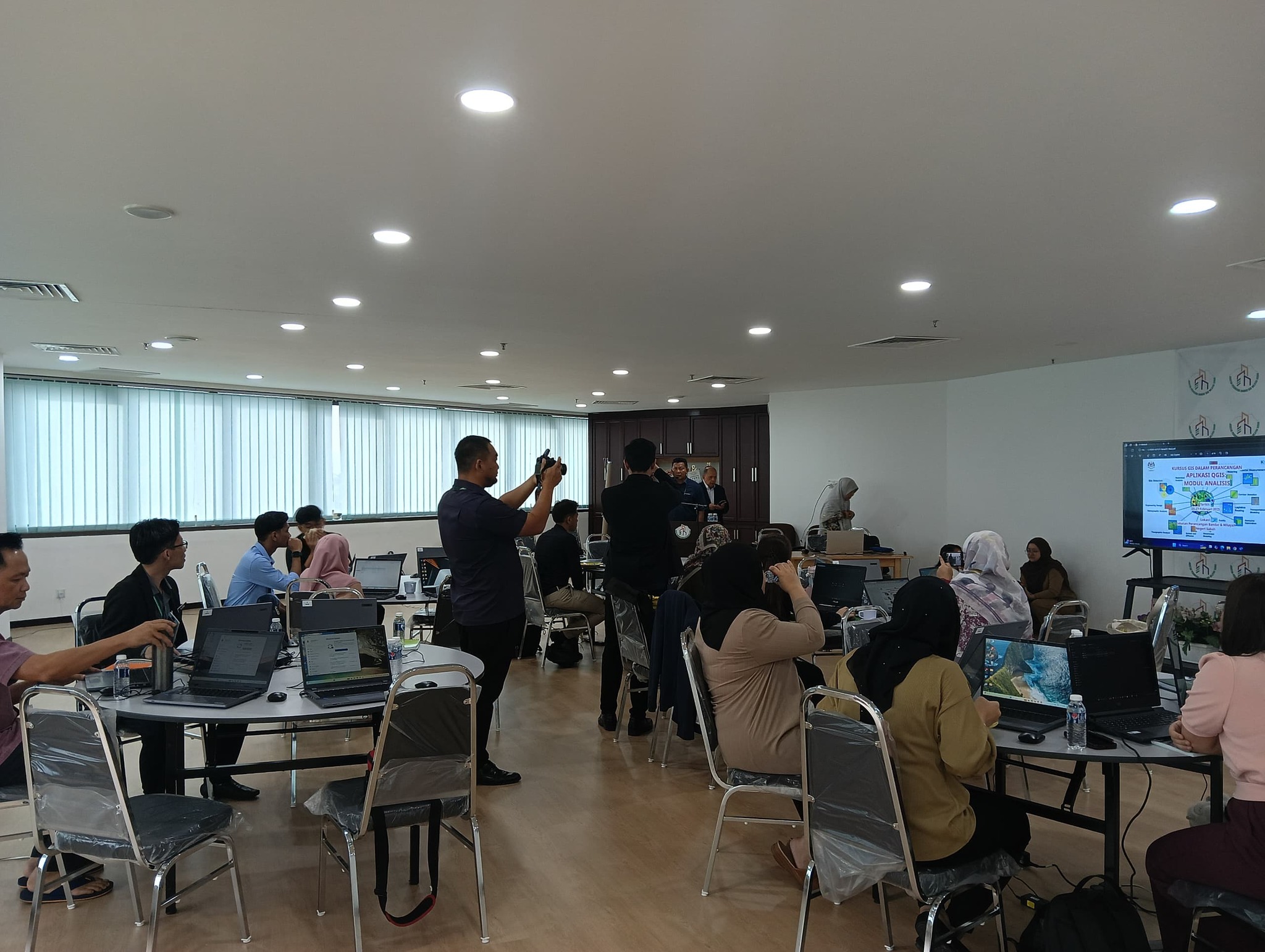
GIS in Planning Course: Using QGIS for Staff of the Sabah State Town and Regional Planning Department, Series 2 (Analysis Module)
Date : 25-27 February 2025
Venue : Sabah State Urban and Regional Planning Department, Wisma Tun Fuad Stephens, Kota Kinabalu, Sabah.
Speaker : Mr. Haji Mohd. Ali Bin Abu Bakar
The Geographical Information System (GIS) is a key support system for the field of urban planning and other related fields. Exposure to and skills in this application can help streamline the daily tasks of a town planner.
The objectives of this course session are:
1. To provide training for town planners on the use of QGIS in their daily work.
2.To enhance the understanding and capability of town planners in operating QGIS for their tasks.
3. To produce town planners who are skilled and trained in the use of QGIS.